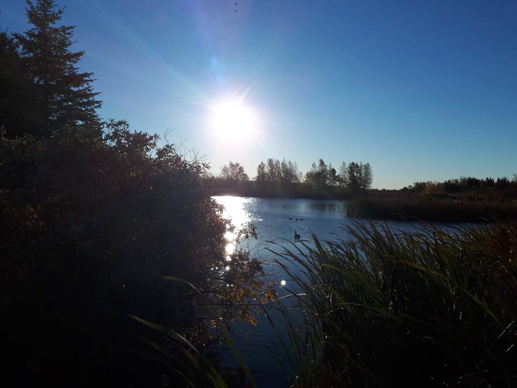
| You don't have to go far for a walk...check out the village trails. See more including our interactive trail map at www.connectingalbertcounty.org/trails (Picture of Hillsborough Lake Marsh Trail by Annick Butland.) |
Harvey: Mary's Point. 415 Mary’s Point Road, Harvey. The Grouse Trail (700 m) is in an “old field” white spruce forest. The Beach Trail (300 m) ends at the observation deck overlooking the shorebird roost beach.
Hillsborough: Lake Marsh Trail. The trail winds around wetland ponds and marsh, and connects with the Hillsborough Dyke Trail. Start at the Visitor Information Centre (2861 Main Street) at the intersection of Route 114 and Steeves Street).
Hillsborough: Dyke Trail. The trail follows dykes alongside the Petitcodiac River. Start at the end of Steeves Street and follow the dykes in either direction.
Hillsborough: Gray Brook Trail. A forest trail features a fish ladder and circles pond with views of wetlands with several bridge crossings. Access it near the corner of Fairview Avenue and Golf Club Road. There is a small parking area on Golf Club Road.
Hillsborough: White Rock Recreation Area. Forested trails on an old gypsum mine site. Access it from Fairview Avenue and Golf Club Road. See White Rock and villageofhillsborough.ca/white-rock-recreational-area.
Hopewell Hill: Broadleaf Guest Ranch. 5526 Route 114, Hopewell Hill. Wooded trails and look-out points. Maps available at Broadleaf Ranch, where there is a restaurant, glamping cabins and trail rides. See broadleafranch.ca.
Hopewell Rocks: Flowerpot Rocks, forest, beaches with 3 km of trails. Seasonal entrance fee. www.thehopewellrocks.ca
Riverside-Albert: Shepody Trail. A dykeland and rail corridor along the Shepody River from Riverside-Albert through the covered bridge at Hopewell Hill along the marsh out to Shepody Bay with a great view of Grindstone Island. Access points are along Water Street (including at Riverside Consolidated School) in Riverside-Albert; Sawmill Creek Covered Bridge at 5431 Main Street, Hopewell Hill; and Route 114 in Shepody.
Riverside-Albert: Crooked Creek Trail. The trail goes past a pond, through woods to the Crooked Creek Look-off, where there is a level loop. Nice views of the Shepody River and Caledonia Gorge forest. Starts on Water Street in Riverside-Albert, runs up by the duck pond, across Route 114 by 5823 King Street, and continues through the woods to the Crooked Creek Look-off.
Riverside-Albert: Creek Look-off Trail. Drive to the short trails at the Look-off and appreciate the beautiful view of Caledonia Gorge. From Route 114, turn up Forestdale Road (which becomes Crooked Creek Road) for 2-3 km. The road to the Look-off is on the left.

 RSS Feed