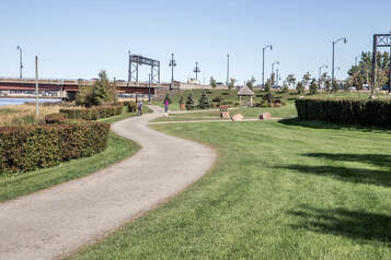

5.2 km; Free; Easy; Linear; Flat, crushed gravel surface
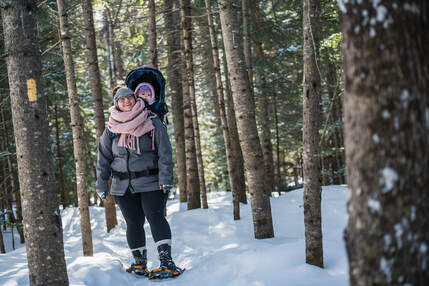
Shared use trail: cycling, walking, running, snowshoeing, wheeling
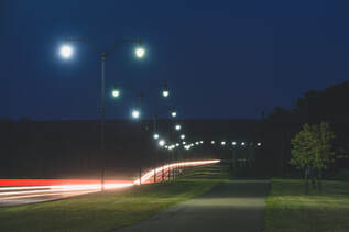
Infrastructure: Washroom facilities provided by TransAqua, playgrounds, gazebo, benches, art installments, water refill stations, bike repair station, gardens, picnic tables, lighting
Location: Along Coverdale Road extending from the Causeway to Point Park Neighbourhood Connections: Moncton via Gunningsville Bridge and the Causeway, Dobson Trail via Gunningsville Path and Winter Wonderland Park.
Interesting Facts: Watch for migratory waterfowl on the marshlands. You can catch the tidal bore when it arrives twice daily. During the holiday season, the trail is lit up with beautiful holiday lights stretching from the Fundy Chocolate River Station to the Gunningsville Bridge playground.
townofriverview.ca/riverfronttrail
Dobson Trail
58 km; Free, but memberships and donations are appreciated by the Fundy Hiking Trails Association for upkeep.
Difficult, Linear; Single track wilderness footpath
Preferred Use: hiking, snowshoeing
Infrastructure: Campsites. Guidebook and topographic maps available for sale in local retail shops. Blazes: blue (main trail) and yellow (side trails)
Location: Connecting Riverview to the northern border of Fundy National Park. Connections: Moncton via Gunningsville Path, Alma via Fundy National Park connecting trails.
Interesting Facts: The trail is Canada’s oldest four-season trail built and maintained by volunteers.
The Dobson Trail takes the average person approximately three days to backpack.
Edwin Melanson was the Dobson’s longest serving Trailmaster from 1975 to 2009. A trailmaster coordinates volunteer efforts, promotes trail use and is the overall guardian of the trail.
www.fundyhikingtrails.com

4 km; Free; Easy, Linear; Mainly flat, paved
Shared use trail: cycling, walking, running, snowshoeing, wheeling, rollerblading, skateboarding
Infrastructure: Benches, bike repair station
Location: Along Gunningsville Boulevard connecting Findlay Boulevard to Coverdale Road. Connections: Moncton via Gunningsville Bridge, Dobson Trail via Winter Wonderland Park
Interesting Facts: The rock and fill blown out of the end of Gunningsville Boulevard when it was being built was transported to the Winter Wonderland Park site and is used today as a toboggan hill.
townofriverview.ca/gunningsvillepath

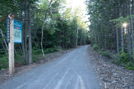
Network of trails. The main artery trail is 1.5 km in length extending from Robertson Road to Runnymeade Road. Free; Easy to Moderate, Linear and Loops; Variable, wide crushed gravel surface
Shared use trail: cycling, walking, running, snowshoeing, wheeling, cross-country skiing, fat biking
Infrastructure: Benches within the park, washroom facilities close to the look-out area (one handicap washroom), play structure coming soon, picnic shelter, bat boxes, pollinator gardens, picnic tables and firepit at the lookout.
Location: Parking lot located off of Robertson Road.
Interesting Facts: This 330-acre biodiverse municipal nature park is home to a variety of wildlife, plants and species. Riverview High School students organize a community Bioblitz (volunteers watch and record nature sightings) every spring!
The heart of the park, known as Mill Creek Look Out, designated by the Fundy Biosphere as an “Amazing Place.”
In the late 1950s, the Department of National Defence built the Mill Creek dam to create an emergency water supply for fire prevention during the Cold War.
The “Friends of Mill Creek” are a committed group of community volunteers whose contributions of expertise and time are dedicated to guiding the development of the Mill Creek Nature Park.
townofriverview.ca/millcreek
 RSS Feed